What is regenerative agriculture?
“Regenerative” refers to an ongoing process of restoring and improving the health of ecosystems. In agriculture, it describes a principles-based approach that restores soil health, supports biodiversity, improves water cycles, and builds a more resilient food system.
Rather than a fixed list of practices, regenerative agriculture is guided by shared principles that can be applied differently depending on the farm’s context. Practices vary by region, climate, and production system—there’s no one-size-fits-all model.
By focusing on soil health and ecosystem function, regenerative principles help farms adapt to climate change, support the well-being of producers, animals, and communities, and strengthen the economic viability of farms and ranches.
At Regeneration Canada, we promote 10 principles of land regeneration that guide this approach:
- Understand the Context
- Minimize Soil Disturbance
- Optimize Input Use
- Keep the Soil Covered and Maintain Living Roots Year-Round
- Improve Water Cycles
- Protect and Enhance Biodiversity
- Preserve and Restore Natural Ecosystems
- Integrate Animals on the Land and Ensure Their Welfare
- Build Farm and Agri-Food Sector Economic Resilience
- Advance Social Justice, Food Sovereignty, and Farmer and Rancher Well-Being
Why this map?
- Linking farmers and citizens
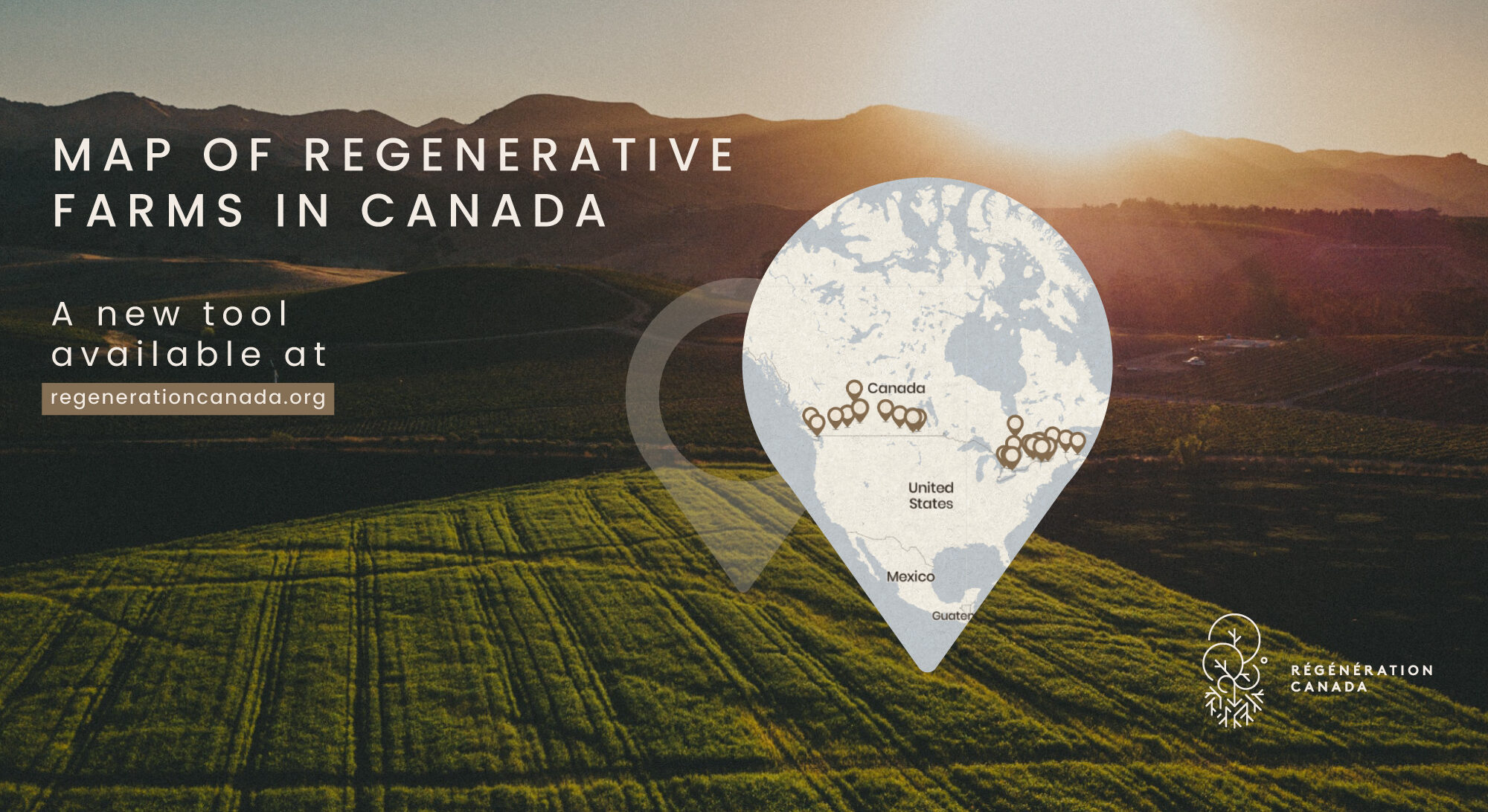
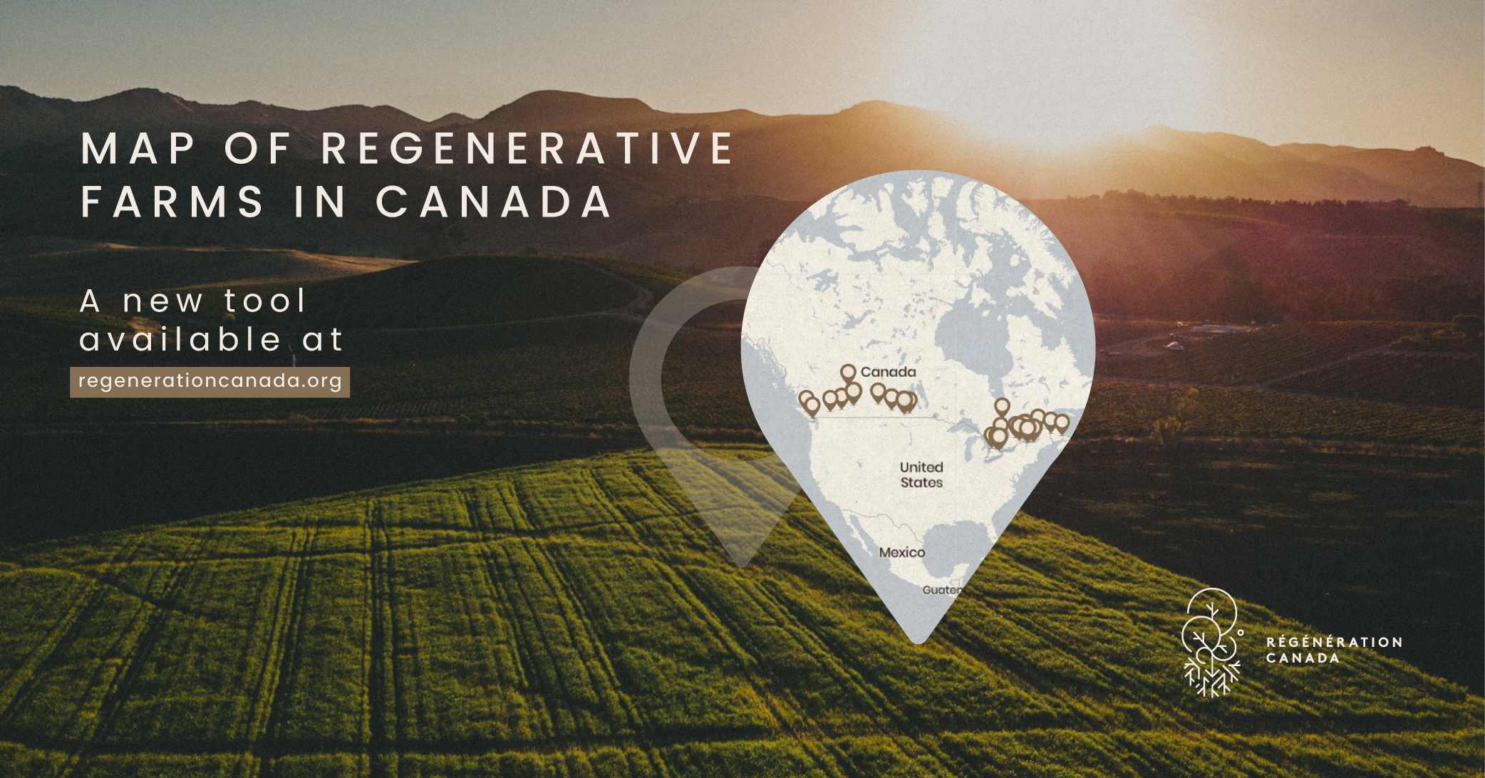
Regenerative agriculture’s benefits are far-reaching. However, at this stage, it is still challenging for consumers to know where and how to purchase regenerative products, given the available certification programs for regenerative are not yet widespread. With this map, we seek to link citizens and farmers who implement regenerative practices, in order to facilitate the search for regenerative products in a given area. By enabling the search for product categories or for specific products, and by providing transparency on which certifications the farms might have and on which practices they implement, we hope this map will be a useful search tool for citizens and will help create demand for regenerative products.

- Peer-to-peer learning
Moreover, given that regenerative practices are numerous and will vary greatly depending on many contextual factors, that many farmers are currently undergoing a transition, and that resources to facilitate knowledge-transfer on regenerative practices are often lacking depending on the area, having a tool to help farmers learn from one another on best practices can be a great help to facilitate the transition. Our map therefore also seeks to facilitate peer-to-peer learning between farmers. By facilitating the search per type of regenerative practice, farmers will be able to see which other farmers are implementing similar practices in Canada or in their area, and to get in touch with one another to exchange tips.

- Storytelling and awareness
Lastly, through this storytelling about Canadian regenerative farmers’ practices and observations, and by showcasing them as humans and displaying photos of their life on the farm, we hope to draw attention to the important work that farmers are doing on the ground. In other words, we wish to showcase success stories of regenerative agriculture in Canada, and to put to light the human beings who are behind this movement, in order to raise awareness about the concept of regenerative agriculture and the great work they do.

- Accelerating adoption
All these objectives contribute to the overarching objective of this map, which is to accelerate adoption of regenerative practices in Canada, in order to mitigate climate change, enhance resilience, improve the quality of waterways, and increase nutritional quality of foods.

Map Display
Our map features two layers that can each be active or inactive when using the map. These layers graphically represent Indigenous and colonial geographical and socio-political understandings of Turtle Island/Canada.
The first layer, which is automatically selected upon arriving on the map, is a visual representation of the Indigenous Territories across the country. This important addition to the project has been made possible thanks to our friends at Native-Land.ca. Indigenous peoples in Canada have been stewarding and regenerating these lands since time immemorial. Regenerative practices are grounded in these Indigenous stewardship customs. Regeneration Canada feels it is essential that any graphical representation of regenerative farming also include representation of the original regenerators.
The second layer is a representation of watersheds and waterways flowing across the continent. Soil and water are inextricably linked. Water gives life to soil, and soil gives structure to water. Water traverses socio-political boundaries, connecting the land and consequently, the peoples of those lands.
How does it work?
This map is not intended to serve as an agricultural certification for regenerative farming. It highlights farms that are applying regenerative principles and are committed to improving the health of their land.
To join the map, farmers complete a form describing their practices and products. All information is self-declared and based on the farmer’s own experience and journey with regenerative agriculture. They also agree to follow regenerative principles and commit to improving and protecting the land on which they farm.
Our team reviews each submission and speaks with every producer to better understand the practices they have in place and the impacts they have observed.


